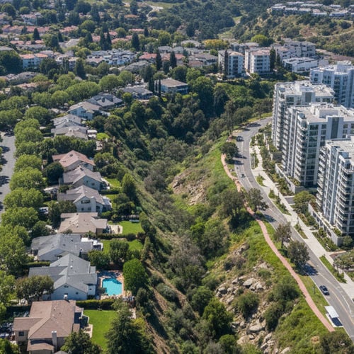


University City sits in the center of San Diego, CA, bordered by Interstate 5, Interstate 805, and State Route 52. This geographic positioning places residents close to major employment centers and regional transit hubs. Buyers looking at this area prioritize its proximity to the coast and nearby commercial districts.
Understanding Commute Times from University City, San Diego involves looking at both highway driving and expanding public transit networks. The neighborhood offers access to the UC San Diego Blue Line Trolley, multiple MTS bus routes, and direct freeway on-ramps. Evaluating these options helps buyers determine how their daily travel will look.
Driving and Transit Times to Downtown San Diego
The drive to downtown San Diego takes 15 to 20 minutes in clear traffic. Interstate 5 South provides a direct, straight-shot route to the city center. Mid-day travelers usually experience this optimal travel time.
Rush hour conditions alter this baseline. Morning and evening congestion along the Interstate 5 corridor often pushes the commute to 40 or 60 minutes. Drivers should plan their departure times around these peak periods to avoid the heaviest delays.
The UC San Diego Blue Line Trolley offers an alternative to the freeway. A ride from the neighborhood to the Santa Fe Depot takes 30 to 40 minutes. Using a transit pass allows commuters to bypass morning traffic entirely while maintaining a predictable arrival time.
Drive Times to Sorrento Valley and Kearny Mesa
Sorrento Valley sits just north of University City, resulting in a 10- to 15-minute drive for local workers. This short distance makes it a popular housing location for professionals working in the nearby tech and biotech sectors. The trip requires minimal highway driving on most days.
Kearny Mesa is a 15- to 20-minute drive to the southeast. Commuters typically use Interstate 805 or State Route 52 to reach this commercial hub. The route is straightforward, though volume increases during standard business hours.
Traffic flow at the Interstate 5 and Interstate 805 merge dictates travel times for both of these routes. Morning and evening bottlenecks at this junction add minutes to the trip. Commuters should check local traffic reports before heading to either destination.
Public Transit Options and MTS Routes
The San Diego Metropolitan Transit System (MTS) operates several routes through the neighborhood. The network includes standard bus lines and the specialized SuperLoop service. These options connect residential blocks directly to commercial centers and educational facilities.
Residents use the PRONTO smart card to pay for local transit fares. This system works across buses and the San Diego Trolley network, streamlining transfers for daily riders.
MTS SuperLoop: Routes 201, 202, and 204 circulate locally, linking housing developments to the UCSD campus and Westfield UTC.
Commuter Rail Connections: Riders can reach the COASTER at the Sorrento Valley Station or the Old Town Transit Center for travel into North County.
Regional Buses: FlixBus and other regional carriers operate stops nearby for longer trips across Southern California.
Highway Access: I-5, I-805, and State Route 52
University City forms the core of the Golden Triangle, defined by three major freeways. Interstate 5 creates the western boundary, providing a direct route to the coastline and downtown. Interstate 805 runs along the east, offering an alternative north-south corridor.
State Route 52 caps the southern edge of the neighborhood. This east-west highway connects the coastal freeways to inland communities. Multiple on-ramps and off-ramps sit along the borders of the community.
These entry points connect residents to the rest of San Diego County, CA. Drivers can quickly reach the airport, northern employment centers, and southern border areas near San Ysidro. The highway infrastructure supports high daily travel volumes.
Real Estate and Local Amenities
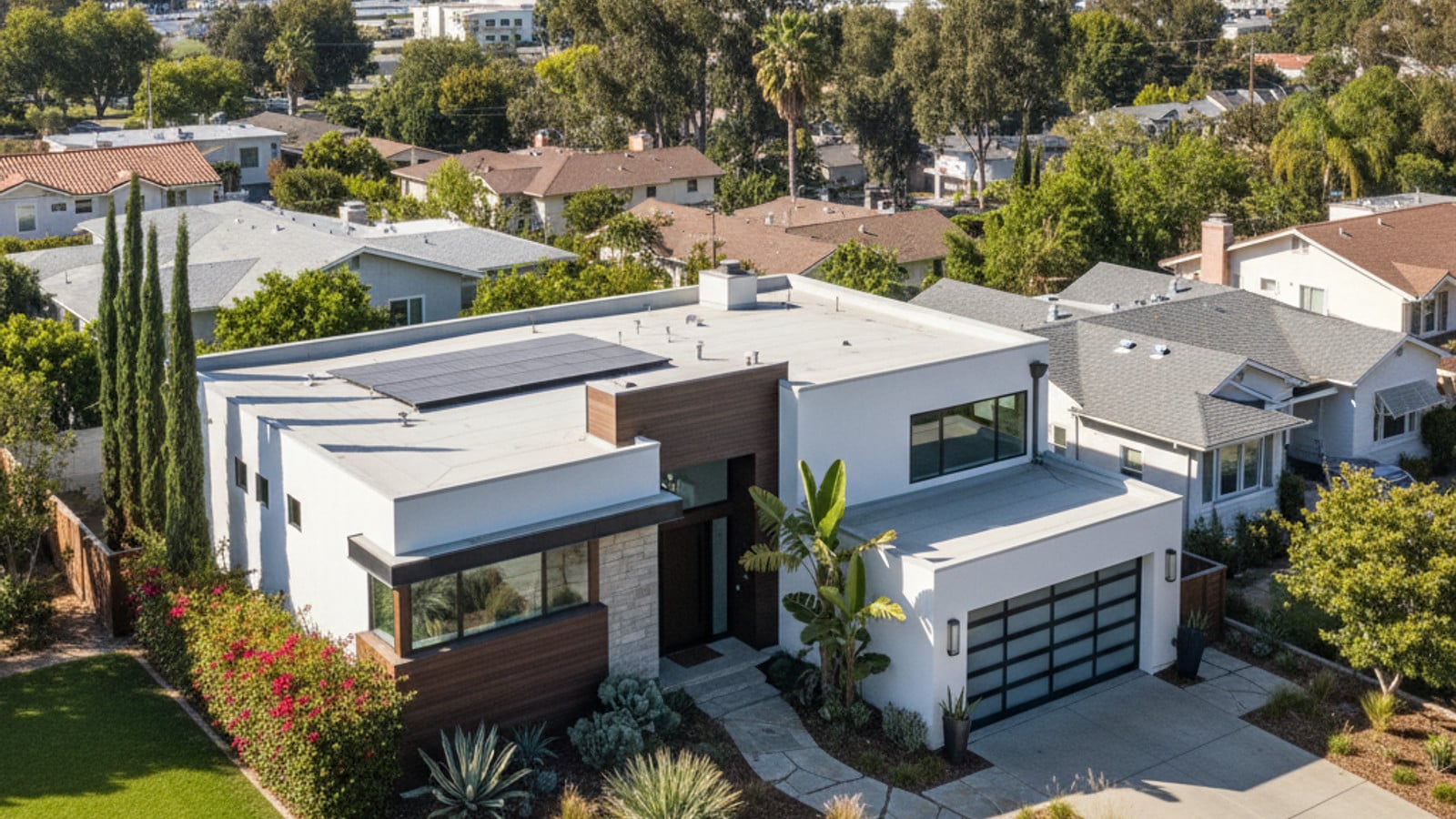
The local real estate market features a mix of single-family homes, condominiums, and townhouses. Buyers can find properties ranging from mid-century houses to newer attached units. Prices vary based on proximity to the university and commercial centers.
Westfield UTC provides major retail and dining options within the neighborhood boundaries. The center includes grocery stores, restaurants, and entertainment venues. Residents do not have to leave the area for daily shopping needs.
Outdoor recreation is available at Rose Canyon Open Space Park. The park offers miles of dirt trails for walking and cycling. It provides a natural break from the surrounding urban infrastructure.
Frequently Asked Questions
Is there a direct train from University City to Downtown San Diego?
Yes, the UC San Diego Blue Line Trolley runs directly from the neighborhood to the downtown core. The trip to the Santa Fe Depot takes about 35 minutes. This route bypasses freeway congestion entirely.
How long is the commute from University City to Sorrento Valley?
Drivers usually reach Sorrento Valley in 10 to 15 minutes. The exact time depends on the flow of vehicles through the local freeway merge. Surface streets offer backup routes when the highway backs up.
What is the fastest way to travel from University City to the airport?
Driving down Interstate 5 South is the quickest route to San Diego International Airport, taking about 20 minutes outside of rush hour. Travelers can also take the Blue Line Trolley to the Old Town Transit Center and transfer to an airport shuttle.
Check out this article next