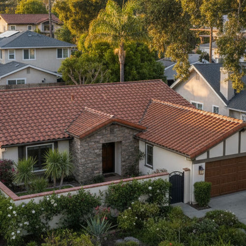


University City sits in the northern part of San Diego, CA, bounded by major freeways and the University of California, San Diego campus. This neighborhood functions as a major employment center, drawing thousands of workers to the corporate parks near La Jolla and Sorrento Valley. The high concentration of daily commuters shapes the local transit infrastructure.
Residents and commuters rely on a mix of highways, light rail, and local bus networks to reach the rest of the San Diego region. The local transportation system connects residential housing directly to the Westfield UTC shopping center, the main campus, and downtown San Diego.
This area is often referred to as the Golden Triangle due to its borders formed by three major highways. Understanding the local transit layout helps new residents determine whether they need a personal vehicle or can rely entirely on public transportation.
Local Transit and Daily Commuting in the Golden Triangle
The neighborhood operates as a central node for the San Diego Metropolitan Transit System (MTS). Commuters can choose between rapid bus routes, standard local lines, and the expanded light rail network to travel across the city.
Many undergraduate and commuter students utilize the campus shuttle routes to move between off-campus housing and the university. These shuttles require a valid university ID, providing a direct link for faculty, staff, and students living in the surrounding apartment complexes.
The MTS oversees the majority of these public transit options. Riders use the PRONTO smart card or mobile app to pay for trips, which automatically caps daily and monthly spending to keep travel affordable.
Riding the Blue Line Trolley
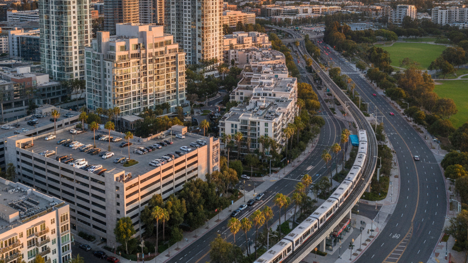
The UC San Diego Blue Line trolley extension, which opened in late 2021, changed how residents travel south toward the city center. This light rail route runs directly through the neighborhood, offering a continuous path from the university down to the US-Mexico border in Tijuana.
Riders can board at the Westfield UTC station or the campus stops and reach downtown San Diego in about 40 minutes. The trolley provides a reliable alternative to driving on Interstate 5. This is especially true during the morning and evening rush hours when highway traffic slows to a crawl.
Several stations serve the immediate area, including stops at Nobel Drive, the VA Medical Center, and the central campus. The Nobel Drive station features a multi-level park-and-ride lot, allowing commuters to leave their cars behind before heading into the downtown core.
Fares remain flat regardless of the distance traveled on the light rail network. A standard one-way ticket costs $2.50, keeping public transportation accessible for regular commuters heading south.
Driving Routes and Average Commute Times
University City is bordered by three major freeways: Interstate 5 to the west, Interstate 805 to the east, and State Route 52 to the south. This layout provides immediate access to the broader highway network for those who prefer to drive.
Parking within the neighborhood varies widely between the residential zones and the commercial centers. Most apartment complexes include assigned spaces, while street parking requires careful attention to posted time limits and street sweeping schedules.
Traffic patterns dictate travel times, with heavy congestion typical on I-5 during standard commute windows. Drivers should plan their departures around these peak hours when heading to major employment centers.
Typical driving times from the center of the neighborhood depend on your specific destination. Commuters should expect the following averages:
Sorrento Valley: 10 to 20 minutes, depending on northbound I-5 traffic.
Kearny Mesa: 15 minutes via SR-52 East.
Downtown San Diego: 15 to 25 minutes via I-5 South during off-peak hours.
North County (Carlsbad): 30 to 45 minutes heading north on I-5.
Local Bus Networks and the Westfield UTC Hub
The Westfield UTC Transit Center serves as the primary bus hub for the immediate area. Located adjacent to the shopping mall, this station handles transfers for local MTS routes.
The SuperLoop Rapid Routes 201 and 202 act as the main circulators for the neighborhood. These high-frequency buses run in continuous loops around the university and nearby residential streets. Riders rarely wait more than 15 minutes for a pickup during standard operating hours.
The North County Transit District (NCTD) also operates out of this hub, providing bus connections to coastal towns further north. Commuters transferring between the trolley and the regional bus network use this location to complete the final leg of their daily travel.
For intercity travel, services like FlixBus occasionally utilize stops near the university to pick up passengers heading toward Los Angeles or other major California cities. These regional options supplement the local daily transit routes.
Bike Lanes and Pedestrian Access
Genesee Avenue features dedicated bike lanes that run parallel to the main traffic corridors. Cyclists use these lanes to travel between the residential areas, the local grocery stores, and the university entrances.
Pedestrian infrastructure includes marked crosswalks and paved sidewalks connecting the high-density apartment blocks to the retail centers.
The local topography includes several steep hills, particularly when moving from the coastal areas up toward the main campus. Electric bicycles and motorized scooters have become common solutions for residents tackling these elevation changes.
For longer recreational rides, cyclists can access the Rose Canyon Bike Path on the southern edge of the neighborhood. This paved trail provides a protected route heading south toward Mission Bay and Old Town, keeping bicycles separated from motor vehicle traffic.
Common Questions About Local Transit
Is there a trolley stop at UTC?
Yes, the Westfield UTC transit center includes an elevated station for the UC San Diego Blue Line. Riders can access the platform via stairs or elevators located near the mall's eastern parking structures.
Is it easy to get around San Diego without a car?
Living near the trolley line or a major bus hub makes car-free living manageable in specific neighborhoods. Residents in University City can use the SuperLoop buses for daily grocery runs and the light rail for weekend trips to downtown or the beach communities.
What is the best way to get from the UCSD campus to downtown San Diego?
The Blue Line trolley offers the most consistent travel time between the university and the downtown core. The trip takes roughly 45 minutes from the central campus station, bypassing the unpredictable daily traffic delays on Interstate 5.
Check out this article next